
Cargando...
Was kann ich tun?
Finden
Anzeige
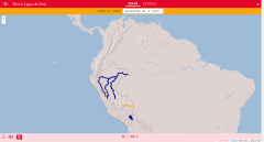
Lernen Sie mit diesem interaktiven Spiel Flüsse und Seen in Peru (Mittelstufe). Zeigen Sie die Liste an und wählen Sie das gewünschte geografische Element aus.
Vergrößern oder ...
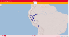
Lerne mit diesem interaktiven Spiel die Flüsse und Seen Perus (Mittelstufe). Eine unterhaltsame Aktivität von Didactalia, um Geografie zu lernen.
Vergrößern oder verkleinern Sie di ...
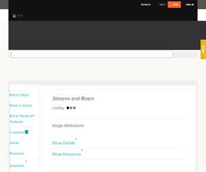
Features of streams and rivers.
It is an educational content of CK-12 Foundation (to access some of the CK-12 contents you must be logged in).
Features of streams and rivers.
It is an educational content of CK-12 Foundation (to access some of the CK-12 contents you must be logged in).
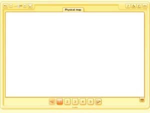
A simulator of a physical map, highlighting some particularly important elements: the highest mountains, longest rivers, etc. (The Rocky Mountains, The Himalayas, The Nile, The Andes, The Amazon, etc. ...
A simulator of a physical map, highlighting some particularly important elements: the highest mountains, longest rivers, etc. (The Rocky Mountains, The Himalayas, The Nile, The Andes, The Amazon, etc. ...
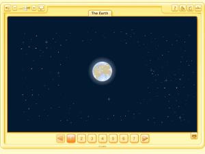
This Sequence presents the world as the stage or home for everybody, which we have to understand and care for. We study the earth and continents, but not the individual countries, as this underlines a ...
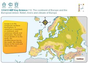
Ejercicio interactivo con varias cuestiones sobre el tema Relief, rivers and climate of Europe. Se trata de una actividad dirigida a alumnos de 6º de primaria para que trabajen el vocabulario y ...
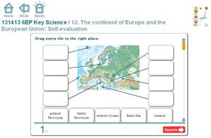
Ejercicio interactivo en el que se muestra un mapa de Europa con los diferentes accidentes geográficos ríos, mares y sistemas montañosos. Esta actividad va dirigida a alumnos de ...
Hipervinculo Inglés-Lengua extranjera
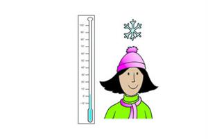
Play a word game to learn and practise weather vocabulary.
Es un recurso de Learn English Kids del British Council
Add to Didactalia Arrastra el botón a la barra de marcadores del navegador y comparte tus contenidos preferidos. Más info...


