
Cargando...
Que pode fazer?
Encontrar
visualização
Hipervinculo Matemáticas
Find points on a map using integer coordinates.
It is an educational content of CK-12 Foundation (to access some of the CK-12 contents you must be logged in).

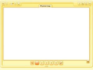
A simulator of a physical map, highlighting some particularly important elements: the highest mountains, longest rivers, etc. (The Rocky Mountains, The Himalayas, The Nile, The Andes, The Amazon, etc. ...

Simulador d'un mapa físic, del qual destaquen alguns elements especialment importants: on estan les muntanyes més prominents o els rius més llargs, etc. (The Rocky Mountains, The Himalayas, The Nile, ...
Mapa fisiko baten simulagailua, bereziki garrantzitsuak diren elementu batzuk nabarmenduz: non dauden mendirik altuenak edo ibairik luzeenak, eta abar. (The Rocky Mountains, The Himalayas, The Nile, T ...

Simulador d'un mapa físic, del qual destaquen alguns elements especialment importants: on són les muntanyes més prominents o els rius més llargs, etc. (The Rocky Mountains, The Himalayas, The Nile, Th ...
A simulator of a physical map, highlighting some particularly important elements: the highest mountains, longest rivers, etc. (The Rocky Mountains, The Himalayas, The Nile, The Andes, The Amazon, etc. ...
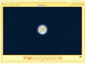
This Learning Object presents a globe showing land and sea, which is a very intuitive way of showing the earth, so that users become aware of: their shape, movements, position in the universe and the ...

Simulador dun mapa físico, realzando algúns elementos especialmente importantes: onde están as montañas máis prominentes ou os ríos máis longos, etc. (The Rocky Mountains, The Himalayas, The Nile, The ...

The subject of the urban phenomenon and its evolution is approached, with a study of the features of the urban space, what is regarded as city and what is not and the evolution of this over time.
Using a compass, working with cardinal points and coordinates, the students will discover the geographical characteristics of different English speaking countries (especially their pen pals country) ...
Adicionar ao Didactalia Arrastra el botón a la barra de marcadores del navegador y comparte tus contenidos preferidos. Más info...


