226539 materialEducativo

textoFiltroFicha
  • Mi piace 0
  • Visite 42
  • Commenti 0
  • Salva su
  • Azioni

Info su questa risorsa...

Sharda River
River
Artículo WikipediaFuente Dbpedia
The Sharda River (Hindi: शारदा नदी, shāradā nadī) or Mahakali River (Nepali: महाकाली नदी, mahākālī nadī) is also called Kali Gad (Hindi: काली गाड, kālī gāD) by local Pahari people in Uttarakhand where the river demarcates Nepal's western border with India. This boundary was established by the 1816 Sugauli treaty, but a portion of this border near the Tibet tripoint is in dispute.As the river descends from 3,600 metres at Kalapani to 200 metres entering the Terai plains, there is unrealized potential for hydroelectric power generation. Plans are afoot to realize this, but they have ignited controversy over allocating costs and benefits between the two bordering countries.Below the Nepal-Uttarakhand border the river enters Uttar Pradesh state and flows southeast across the plains to join the Ghagra river, an affluent of the Ganges.
Longitud 350000.000000
Cuenca hidrográfica (km2) 18140000000.000000

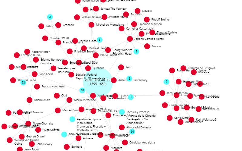
Mappa concettuale: Sharda River

Contenuti esclusivi per i membri di

D/i/d/a/c/t/a/l/i/a
Il login

Mira un ejemplo de lo que te pierdes

Categorie:

Fecha publicación: 3.10.2014

Commenta

0

Vuoi lasciare un commento? Iscriviti o inizia sessione

Unisciti a Didactalia

Browse among 226539 resources and 574237 people

Regístrate >

O conéctate a través de:

Si ya eres usuario, Inicia sesión

Vuoi accedere a più contenuti educativi?

Inizia la sessione Unisciti a una lezione
x

Aggiungere a Didactalia Arrastra el botón a la barra de marcadores del navegador y comparte tus contenidos preferidos. Más info...


Gioco Aiuto
Juegos de anatomía
Selecciona nivel educativo