
Cargando...
What can I do?
226306 materialEducativo
textoFiltroFichaAbout this resource...
Interaktive Karte der USA
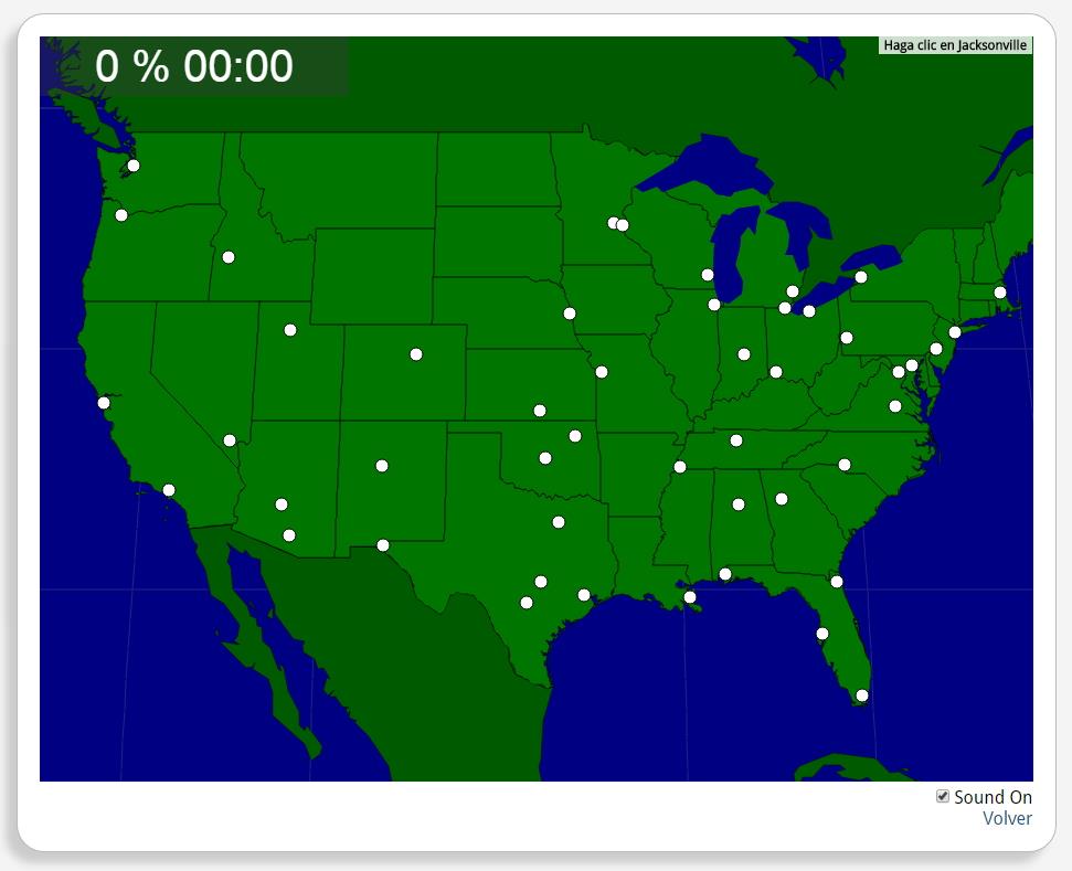
Könntest du, die geographische Objekte ausfindig machen? Du musst auf die Landkarte genau zeigen, wo jeder sich befindet.
Die geographischen objekte, positionieren sollten, sind: Albuquerque, Atlanta, Austin, Baltimore, Birmingham, Boise, Boston, Buffalo, Charlotte, Chicago, Cincinnati, Cleveland, Dallas, Denver, Detroit, El Paso, Houston, Indianapolis, Jacksonville, Kansas City, Las Vegas, Los Angeles, Memphis, Miami, Milwaukee, Minneapolis, Mobile, Nashville, New Orleans, New York, Oklahoma City, Omaha, Philadelphia, Phoenix, Pittsburgh, Portland, Richmond, Saint Paul, Salt Lake City, San Antonio, San Francisco, Seattle, Tampa, Toledo, Tucson, Tulsa, Washington, D.C., Wichita.
América del norte
Estados Unidos
Tipo de Juego Where is?
Idioma Deutsch

Mira un ejemplo de lo que te pierdes
Autores:
Categories:
Tags:
Shared with:
Add to Didactalia Arrastra el botón a la barra de marcadores del navegador y comparte tus contenidos preferidos. Más info...


Comment
0