
Cargando...
What can I do?
226539 materialEducativo
textoFiltroFichatipo de documento Geography Go to the web resource
About this resource...
Map of United States
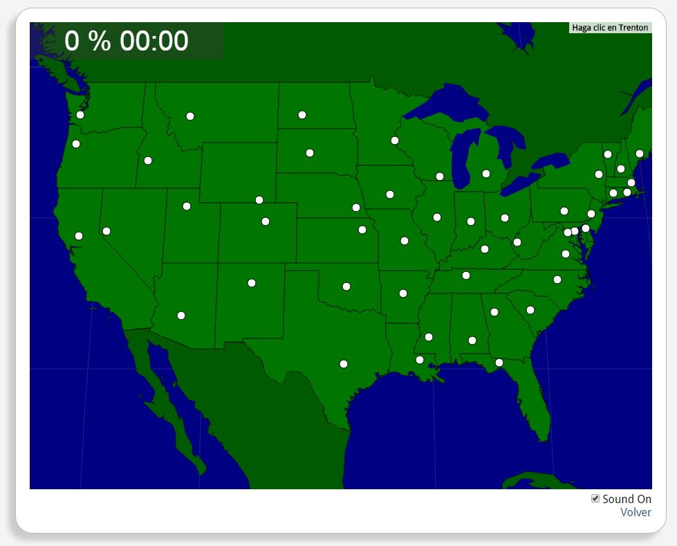
Would you know to locate the geographic items you are asked about? You must point out each exact location on the map.
Locate countries are: Albany, Annapolis, Atlanta, Augusta, Austin, Baton Rouge, Bismarck, Boise, Boston, Carson City, Charleston, WV, Cheyenne, Columbia, Columbus, Concord, Denver, Des Moines, Dover, Frankfort, Harrisburg, Hartford, Helena, Indianapolis, Jackson, Jefferson City, Lansing, Lincoln, Little Rock, Madison, Montgomery, Montpelier, Nashville, Oklahoma City, Olympia, Phoenix, Pierre, Providence, Raleigh, Richmond, Sacramento, Saint Paul, Salem, Salt Lake City, Santa Fe, Springfield, Tallahassee, Topeka, Trenton, Washington, D.C..
América del norte
Estados Unidos
Exclusive content for members of

Mira un ejemplo de lo que te pierdes
Autores:
Categories:
Tags:
Shared with:
Add to Didactalia Arrastra el botón a la barra de marcadores del navegador y comparte tus contenidos preferidos. Más info...


Comment
0