What can I do?

226304 materialEducativo

textoFiltroFicha
  • I like 0
  • Visits 8
  • Comments 0
  • Save to
  • Actions

About this resource...

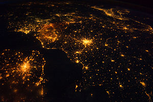
Geography of Europe
DbpediaThing
Wikipedia articleDbpedia source
Europe is traditionally reckoned as one of seven continents. Physiographically, it is the northwestern peninsula of the larger landmass known as Eurasia (or Afro-Eurasia); Asia occupies the eastern bulk of this continuous landmass and all share a common continental shelf. Europe's eastern frontier is delineated by the Ural Mountains in Russia. The southeast boundary with Asia is not universally defined, but the modern definition is generally the Ural River or, less commonly, the Emba River. The boundary continues to the Caspian Sea, the crest of the Caucasus Mountains (or, less commonly, the Kura River in the Caucasus), and on to the Black Sea. The Bosporus, the Sea of Marmara, and the Dardanelles conclude the Asian boundary. The Mediterranean Sea to the south separates Europe from Africa. The western boundary is the Atlantic Ocean. Iceland, though on the Mid-Atlantic Ridge and nearer to Greenland (North America) than mainland Europe, is generally included in Europe for cultural reasons and because it is over twice as close to mainland Europe than to mainland North America. There is ongoing debate on where the geographical centre of Europe falls.
Geography of Europe

Conceptual map: Geography of Europe

Exclusive content for members of

D/i/d/a/c/t/a/l/i/a
Sign in

Mira un ejemplo de lo que te pierdes

Categories:

Fecha publicación: 30.5.2015

Comment

0

Do you want to comment? Sign up or Sign in

Join Didactalia

Browse among 226304 resources and 560486 people

Regístrate >

O conéctate a través de:

Si ya eres usuario, Inicia sesión

Do you want to access more educational content?

Sign in Join a class
x

Add to Didactalia Arrastra el botón a la barra de marcadores del navegador y comparte tus contenidos preferidos. Más info...

Game help
Juegos de anatomía
Selecciona nivel educativo