
Cargando...
What can I do?
224406 materialEducativo
textoFiltroFichatipo de documento Geography Go to the web resource
About this resource...
Interactive Map of France
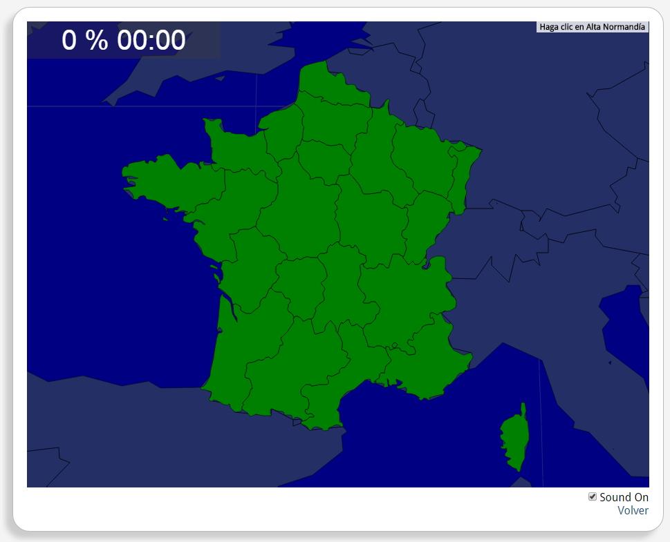
Would you know to locate the geographic items you are asked about? You must point out each exact location on the map.
Locate countries are: Alsace, Aquitaine, Auvergne, Bourgogne, Brittany, Centre, Champagne-Ardenne, Corsica, Franche-Comté, Île-de-France, Languedoc-Roussillon, Limousin, Lorraine, Lower Normandy, Midi-Pyrénées, Nord-Pas-de-Calais, Pays de la Loire, Picardy, Poitou-Charentes, Provence-Alpes-Côte d'Azur, Rhône-Alpes, Upper Normandy.
Europa
Francia
Exclusive content for members of

Mira un ejemplo de lo que te pierdes
Autores:
Categories:
Tags:
Shared with:
Add to Didactalia Arrastra el botón a la barra de marcadores del navegador y comparte tus contenidos preferidos. Más info...


Comment
0