
Cargando...
What can I do?
226344 materialEducativo
textoFiltroFichaAbout this resource...
Interactieve kaart de Europese Unie
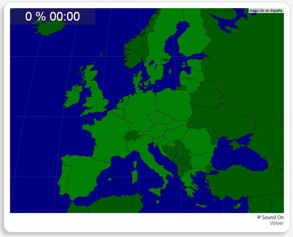
Train je brein met topografie.
Zoek geografische kenmerken zijn: België, Bulgarije, Cyprus, Denemarken, Duitsland, Estland, Finland, Frankrijk, Griekenland, Hongarije, Ierland, Italië, Kroatië, Letland, Litouwen, Luxemburg, Malta, Nederland, Oostenrijk, Polen, Portugal, Roemenië, Slovenië, Slowakije, Spanje, Tsjechië, Verenigd Koninkrijk, Zweden.
Europa
Tipo de Juego Where is?
Idioma Nederlands
Exclusive content for members of

Mira un ejemplo de lo que te pierdes
Autores:
Categories:
Tags:
Shared with:
Add to Didactalia Arrastra el botón a la barra de marcadores del navegador y comparte tus contenidos preferidos. Más info...


Comment
0