
Cargando...
What can I do?
226262 materialEducativo
textoFiltroFichaAbout this resource...
Interaktive Karte der Europas
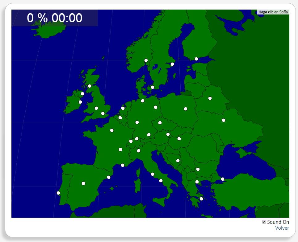
Könntest du, die geographische Objekte ausfindig machen? Du musst auf die Landkarte genau zeigen, wo jeder sich befindet.
Die geographischen objekte, positionieren sollten, sind: Amsterdam, Athen, Barcelona, Belfast, Berlin, Bern, Birmingham, Brüssel, Budapest, Dublin, Frankfurt, Glasgow, Hamburg, Helsinki, Istanbul, Kiew, Kopenhagen, Lissabon, London, Lyon, Madrid, Mailand, Marseille, Minsk, München, Neapel, Oslo, Paris, Prag, Rom, Sarajevo, Sofia, Stockholm, Thessaloniki, Warschau, Wien, Zürich.
Europa
Tipo de Juego Where is?
Idioma Deutsch
Exclusive content for members of

Mira un ejemplo de lo que te pierdes
Autores:
Categories:
Tags:
Shared with:
Add to Didactalia Arrastra el botón a la barra de marcadores del navegador y comparte tus contenidos preferidos. Más info...


Comment
0