
Cargando...
What can I do?
226306 materialEducativo
textoFiltroFichaAbout this resource...
Map rhyngweithiolof Britain
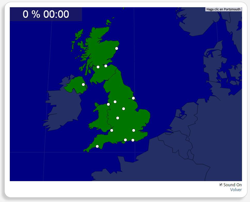
Ydych chi'n gwybod sut i leoli nodweddion daearyddol i gyd yn gywir? Gallwch chi ddangos hyn trwy gwblhau'r map rhyngweithiol gwreiddiol.
Gwledydd o hyd yw: Béal Feirste, Birmingham, Brighton, Briostó, Dún Éideann, Glaschú, Hull, Learpholl, Londain, Manchain, Nottingham, Obar Dheathain, Plymouth, Portsmouth.
Europa
United Kingdom
Tipo de Juego Where is?
Idioma Gaeilge
Exclusive content for members of

Mira un ejemplo de lo que te pierdes
Autores:
Categories:
Tags:
Shared with:
Add to Didactalia Arrastra el botón a la barra de marcadores del navegador y comparte tus contenidos preferidos. Más info...


Comment
0