
Cargando...
What can I do?
226349 materialEducativo
textoFiltroFichaAbout this resource...
Map rhyngweithiolo yr Almaen
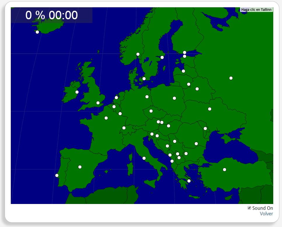
Ydych chi'n gwybod sut i leoli nodweddion daearyddol i gyd yn gywir? Gallwch chi ddangos hyn trwy gwblhau'r map rhyngweithiol gwreiddiol.
Gwledydd o hyd yw: Baden-Wurttemberg, Bayern, Beirlín, Brandenburg, Bremen, Hamburg, Hessen, Mecklenburg-Vorpommern, Niedersachsen, Nordrhein-Westfalen, Rheinland-Pfalz, Saarland, Sachsen, Sachsen-Anhalt, Schleswig-Holstein, Thuringen.
Europa
Tipo de Juego Where is?
Idioma Gaeilge

Mira un ejemplo de lo que te pierdes
Autores:
Categories:
Tags:
Shared with:
Add to Didactalia Arrastra el botón a la barra de marcadores del navegador y comparte tus contenidos preferidos. Más info...


Comment
0