
Cargando...
What can I do?
Find
Display
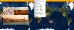
Learn with this interactive game the largest deserts in the world.
Zoom in or out of the map and adjust its size to the screen of your device. You can also click on the map and drag it to center it.
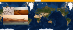
Learn with this interactive game the largest deserts in the world.
Zoom in or out of the map and adjust its size to the screen of your device. You can also click on the map and drag it to center it.

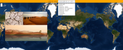
Learn with this interactive game the largest deserts in the world.
Zoom in or out of the map and adjust its size to the screen of your device. You can also click on the map and drag it to center it.
Learn with this interactive game the largest deserts in the world.
Zoom in or out of the map and adjust its size to the screen of your device. You can also click on the map and drag it to center it.
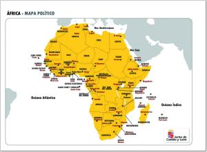
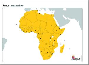
Aprenderse los países y capitales de África no es una tarea sencilla, por esto te recomendamos estudiarlas con este mapa político de dicha zona geográfica.
Si quieres demostrar lo que sabes de geografía política de África, con este mapa político mudo de la zona puedes hacerlo intentando completarlo correctamente.
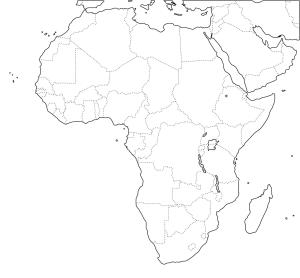
¿Sabes dónde se sitúa cada país de África? Demuéstralo completando este mapa político mudo de África listo para imprimir.
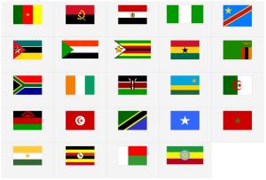
¿Sabrías identificar todas las banderas de los países de África? Pon a prueba tus conocimientos con este juego interactivo.
Completo mapa interactivo para repasar los países más grandes del mundo.
Los países a localizar son los siguientes: República Centroafricana, Afganistán, Alemania, Angola, rabia Saudita, Argelia, Arge ...
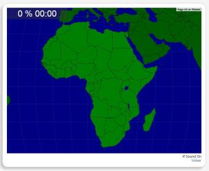
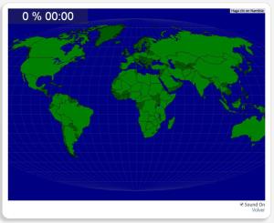
Con este mapa interactivo puedes comprobar si sabes situar correctamente todos los países que forman el continente africano.
Estos son los países que has de situar: República Centr ...
Add to Didactalia Arrastra el botón a la barra de marcadores del navegador y comparte tus contenidos preferidos. Más info...


