
Cargando...
What can I do?
Find
Display
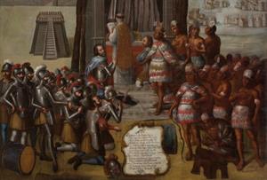
El español mexicano contiene cientos de palabras de orígen náhuatl y maya. Incluso algunas como chocolate, tomate, aguacate y coyote se usan en otros idiomas y países. Esto ...
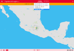
Do you know what is the name of each capitals of the region south-central of Mexico shown on the map? Test yourself with this interactive map, you have to choose the right answer from a list of sever ...
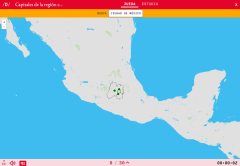
Would you know how to locate on the map the capitals of the region south-central of Mexico which you have been asked for? You have to point out each exact location on the map.
Zoom in or zoom out the m ...
Try to guess where each given tourist destination of Mexico is located on the map.
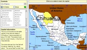
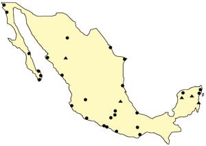
Click on the Mexican states to find out their capitals.
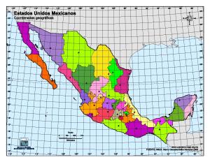
Atractivo mapa mudo en color en el que los alumnos tendrán que situar los nombres de las capitales mexicanas en el lugar correspondiente.Es un mapa de la sección Cuéntame del Instituto Nacional de Est ...
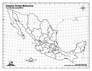
Mapa mudo en blanco y negro con coordenadas grado por grado, para practicar los nombres de las capitales de los estados mexicanos.Es un mapa de la sección Cuéntame del Instituto Nacional de Estadístic ...
Add to Didactalia Arrastra el botón a la barra de marcadores del navegador y comparte tus contenidos preferidos. Más info...


