
Cargando...
Was kann ich tun?
Finden
Anzeige
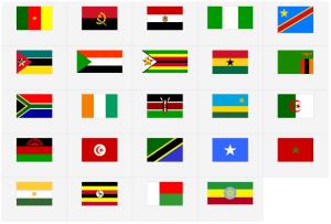
¿Sabrías identificar todas las banderas de los países de África? Pon a prueba tus conocimientos con este juego interactivo.
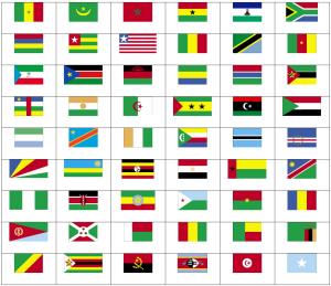
Can you name the flags of Africa?
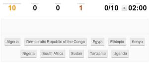
Can you pick the 10 most populous African countries in order from most populous to least without making a mistake?
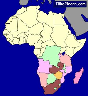
Test your knowledge of South Africa countries by taking this Africa map quiz
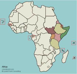
Guess where each given eastern african country is located on the map.
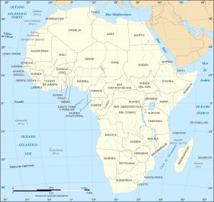
África posee una superficie total de 30.272.922 Km² (621.600 en masa insular), la cual representa el 20.4% del total terrestre, la población es de mil millones de habitantes, menos ...

Train je brein met topografie.
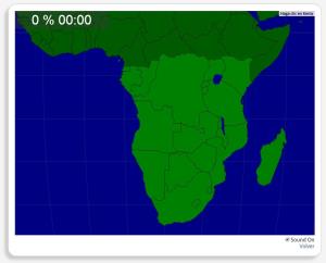
Zoek geografische kenmerken zijn: Angola, Botswana, Burundi, Congo Brazzaville, Democratische Republiek Congo, Equatoriaal Guinea, Gabon, Kenia, Lesotho, Madagascar, Mala ...
Completo mapa interactivo para repasar los países más grandes del mundo.
Los países a localizar son los siguientes: República Centroafricana, Afganistán, Alemania, Angola, rabia Saudita, Argelia, Arge ...
Potrebbe trovare caratteristiche geografiche che vengono richiesti sulla mappa? È necessario indicare ogni posizione precisa sulla mappa.
Individuare le caratteristiche geografiche sono le seguenti: An ...

Would you know to locate the geographic items you are asked about? You must point out each exact location on the map.
Locate countries are: Angola, Botswana, Burundi, Democratic Republic of the Congo, ...
Add to Didactalia Arrastra el botón a la barra de marcadores del navegador y comparte tus contenidos preferidos. Más info...


