
Cargando...
¿Qué puedo hacer?
Encuentra
 Matemáticas (4)
Ciencias Naturales (23)
Matemáticas (4)
Ciencias Naturales (23)
 CC SS, Geografía e Historia (125)
Artes Plásticas, Imagen y Diseño (3)
Artes Escénicas, Música y Danza (6)
Filosofía (5)
CC SS, Geografía e Historia (125)
Artes Plásticas, Imagen y Diseño (3)
Artes Escénicas, Música y Danza (6)
Filosofía (5)
visualización

Although talking about earthquakes and tsunamis sounds exotic, they are very common and happen frequently near us. This video shows why they occur, the trigger and where the possibility of an event is ...

Video Economía
All the clues for understanding symbols, scale and relief of the National Topographic Map are in this video. Year of creation: 2019.

Discover the true shape of the Earth and how cartographic projections allow portray it in a flat surface in different ways depending on the purpose of the map. Year of creation: 2019.

A tour around the current technologies using satellites and airborne platforms for geographic information in order to study the territory and its changes. Year of creation: 2019.

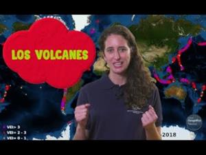
An overview of the types of eruptions, emitted materials and volcanic areas of Spain and the world through stunning videos and images. Year of creation: 2019.
Video Geografía
Un repaso a los tipos de erupciones, los materiales emitidos y las zonas volcánicas de España y el mundo a través de impactantes vídeos e imágenes.
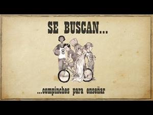
ILIÓN, la novela juvenil que plantea enigmas del pasado, busca compinches docentes para enseñar. Para ello presenta su propuesta educativa para 1r ESO de Ciencias Sociales y otras asigna ...
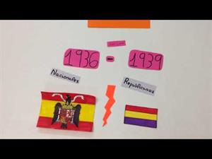
Breve explicación de la Guerra Civil vista por los ojos de niños de 6º de primaria.
Proyecto realizado desde el CEIP La Fuenfresca (Teruel). (Vanesa, Carla, Germán y Joel)
Aut ...
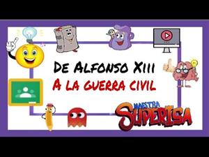
En este video explicativo, su autora MaestraSuperIsa, nos muestra las tres etapas que se vivieron entre: 1902 - 1939:
Reinado Alfonso XIII (1902 - 1931)
Segunda República (1931 - 1936)
Guer ...
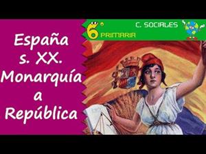
Video explicativo de la España del S. XX. ayuda a descubrir cómo fue el paso de la monarquía a la república.
Su autor Jesús Chacón Chaparro explica como Espa& ...
Añadir a Didactalia Arrastra el botón a la barra de marcadores del navegador y comparte tus contenidos preferidos. Más info...


