
Cargando...
¿Qué puedo hacer?
Encuentra
visualización
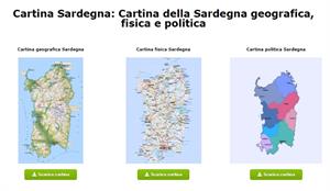
Ecco le tre tipologie di cartina della Sardegna: geografica, fisica e politica scaricabili gratuitamente. Scopri anche tutto su quest'isola.
Cartina della Sardegna geografica, fisica e politica
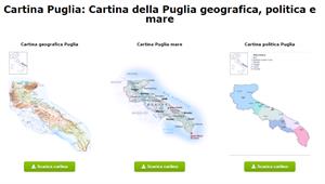
Ecco le mappe scaricabili della Puglia. Entra facilmente in Cartina Puglia: Cartina della Puglia geografica, politica e mare per scaricarli. Hai anche tutte le informazioni importanti sulla Puglia.
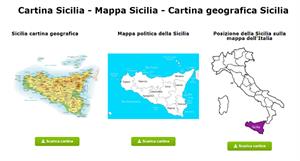
Per chi ha bisogno di informazioni sulla Sicilia e le sue mappe, qui condivido uno strumento dove è possibile scaricare gratuitamente le mappe e ottenere anche informazioni su questa e altre re ...
Hipervinculo Geografía
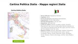
Qui condivido questo strumento online per scaricare mappe e ottenere informazioni sull'Italia e sui suoi Cartina Politica Italia - Mappa regioni Italia.

Hipervinculo Geografía
Aplicación móvil de mapas interactivos para estudiar la geografía física, política y el paisaje de España y el mundo. Es bilingüe en español e ing ...

This video shows how to orient yourself in the field in a traditional way through the use of a map and a compass, and through the use of map applications for mobile devices. Year of creation: 2019.

In this video GNSS technology foundations and use are explained, and also how it is used in mobile and in other more accurate applications, such as cartography or Earth dynamics knowledge. Year of cr ...

Although talking about earthquakes and tsunamis sounds exotic, they are very common and happen frequently near us. This video shows why they occur, the trigger and where the possibility of an event is ...

Video Economía
All the clues for understanding symbols, scale and relief of the National Topographic Map are in this video. Year of creation: 2019.

Discover the true shape of the Earth and how cartographic projections allow portray it in a flat surface in different ways depending on the purpose of the map. Year of creation: 2019.
Añadir a Didactalia Arrastra el botón a la barra de marcadores del navegador y comparte tus contenidos preferidos. Más info...


