
Cargando...
Què puc hacer?
Troba
visualització
Hipervinculo Geografía
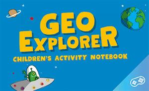
GeoExplorer has come to discover the Earth through games to learn astronomy, the interior of the Earth, geography and maps. Draw, colour, cut and learn more with links to other resources. Aimed at stu ...
Hipervinculo Geografía
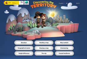
This interactive teaching and learning resource includes nine pills or independent educational materials aimed at learning geography and cartography in a playful way, on topics such as altitude, orien ...

Discover the true shape of the Earth and how cartographic projections allow portray it in a flat surface in different ways depending on the purpose of the map. Year of creation: 2019.
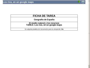
Los ríos, en un google maps
Hipervinculo Economía
Recurso didáctico para las clases de ciencias sociales. Aquí encontrarás mapas de todo el mundo, organizados por continentes, regiones, países y océanos. Dentro de ...
Hipervinculo Economía
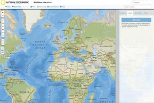
Herramienta educativa creada por National Geographic que permite seleccionar una región o país del mundo y generar mapas con los datos que interesen: clima, población, zonas horar ...
Colección de mapas, fotografías y otras imágenes, en inglés, que muestran la evolución histórica de los Estados Unidos. Los contenidos están organizad ...
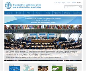
Food and Agriculture Organization of the United Nations: essential documents, statistics, maps and multimedia resources.
'Un aula internacional de la FAO para examinar los problemas sobre el hambre ...
Afegir a Didactalia Arrastra el botón a la barra de marcadores del navegador y comparte tus contenidos preferidos. Más info...


