
Cargando...
Cosa posso fare?
Trova
visualizzazione

Hipervinculo CC SS, Geografía e Historia
¿Qué sabes sobre los volcanes?
Presentación sobre volcanes que resume algunos conceptos generales sobre esta materia e incluye enlaces a documentación de consulta, actividad ...
Hipervinculo CC SS, Geografía e Historia
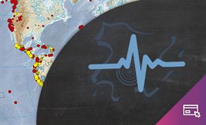
¿Qué sabes sobre los terremotos y los tsunamis?
Presentación sobre terremotos y tsunamis que resume algunos conceptos generales sobre esta materia e incluye enlaces a documentaci&o ...
Conjunto de actividades sobre paisaje, toponimia, riesgo ambiental, geomorfología, etc. para trabajar con visualizadores cartográficos. Incluye una guía de uso del visualizador Ib ...
Hipervinculo Geografía
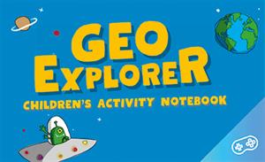
GeoExplorer has come to discover the Earth through games to learn astronomy, the interior of the Earth, geography and maps. Draw, colour, cut and learn more with links to other resources. Aimed at stu ...
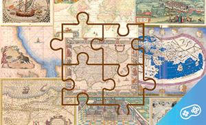
Si te gustan los mapas y los puzles, puedes disfrutar de estas dos pasiones realizando puzles virtuales de mapas antiguos. ¡Prueba tu habilidad!
Hipervinculo Geografía
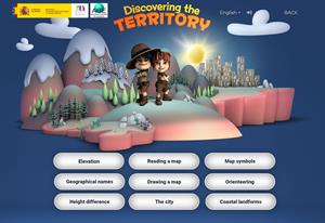
This interactive teaching and learning resource includes nine pills or independent educational materials aimed at learning geography and cartography in a playful way, on topics such as altitude, orien ...
Hipervinculo Geografía
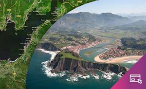
This interactive teaching and learning resource enable us to discover the coastal landforms of Spain, its landscapes and coastal accidents. Coastal features are described: bays, capes, lagoons, beache ...
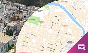
By means of this interactive teaching and learning resource students will learn about an aspect of urban geography: the importance of environmental conditioning factors or the possible risks involved ...

Hipervinculo Geografía
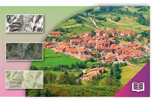
This teaching and learning resource is used to study settlements that are characterized by a predominant economic activity (mining, agriculture, tourism, industry). By searching for information (maps, ...

Hipervinculo Geografía
This interactive teaching and learning resource offers the possibility of knowing through maps the territorial inequalities where factors of an economic, political, social and geographic nature conve ...
Aggiungere a Didactalia Arrastra el botón a la barra de marcadores del navegador y comparte tus contenidos preferidos. Más info...


