
Cargando...
Cosa posso fare?
Trova
visualizzazione

A tour around the current technologies using satellites and airborne platforms for geographic information in order to study the territory and its changes. Year of creation: 2019.
Hipervinculo Economía
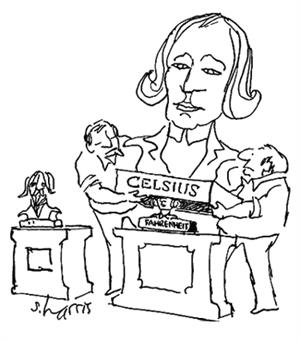
Introduce el humor en tus clases de ciencias, tecnología y matemáticas. Estas viñetas científicas, elaboradas por el dibujante estadounidense Sidney Harris, son un buen re ...
Aggiungere a Didactalia Arrastra el botón a la barra de marcadores del navegador y comparte tus contenidos preferidos. Más info...


