
Cargando...
Que podo facer?
Atopa
 Matemáticas (3)
 Ciencias Naturais (48)
CC SS, Xeografía e Historia (48)
Artes Plásticas, Imaxe e Deseño (2)
Ciencias Naturais (48)
CC SS, Xeografía e Historia (48)
Artes Plásticas, Imaxe e Deseño (2)
visualización
La mano de Irulegui es una pieza arqueológica hallada en un yacimiento del poblado de la Edad del Hierro, siglo I a. C., situado al pie de las ruinas del castillo de Irulegui en Laquidái ...
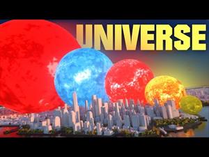
¿Cómo sería el universo si la Tierra apenas midiera 1 cm?
Este vídeo de MetaBallStudios muestra los tamaños relativos de estrellas, nebulosas y galaxias a una escala ...
![SI los PAÍSES fueran PLANETAS ▬ (SUPERFICIE) 🗺 [3D]. MetaBallStudios](https://content.gnoss.ws/imagenesEnlaces/d3/d39f/d39f480a-6431-48ae-9188-0b6b227777b5/d39f480a-6431-48ae-9188-0b6b227777b5.jpg?5)
A video that shows the surface area of SOME countries (including the sea). Not all countries are there for obvious reason...
Una interesante comparativa animada de la superficie de diversos país ...
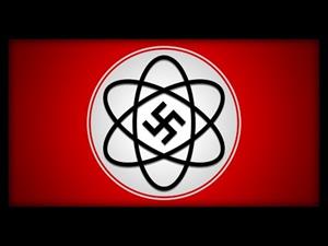
Las ideas nazis no solo se filtraron en la política y en el arte... También lo hicieron en la física. Es hora de que hablemos sobre la absurda "Física Aria" y qué ocurrió con sus creadores.
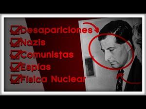
Nazis, espías, contrabando, comunistas, descubrimientos increíbles, fortunas perdidas, romance, desapariciones, suspense... La vida de Bruno Pontecorvo es increíble. Hoy vas a descubrirla.

This video shows how to orient yourself in the field in a traditional way through the use of a map and a compass, and through the use of map applications for mobile devices. Year of creation: 2019.

In this video GNSS technology foundations and use are explained, and also how it is used in mobile and in other more accurate applications, such as cartography or Earth dynamics knowledge. Year of cr ...

Although talking about earthquakes and tsunamis sounds exotic, they are very common and happen frequently near us. This video shows why they occur, the trigger and where the possibility of an event is ...

Video Economía
All the clues for understanding symbols, scale and relief of the National Topographic Map are in this video. Year of creation: 2019.

Discover the true shape of the Earth and how cartographic projections allow portray it in a flat surface in different ways depending on the purpose of the map. Year of creation: 2019.
Engadir a Didactalia Arrastra el botón a la barra de marcadores del navegador y comparte tus contenidos preferidos. Más info...


