
Cargando...
Que podo facer?
Atopa
visualización

The Mongol Empire was once the worlds largest contiguous empire, stretching from Eastern Asia to Eastern Europe - can you name the modern-day countries that would've had territory in its boundarie ...
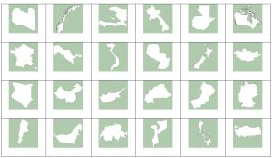
Can you name the countries by their shapes?
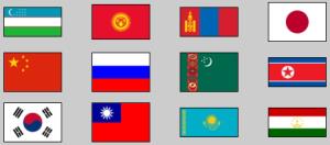
Try to guess all the flags of the given countries of eastern, central and northern Asia.
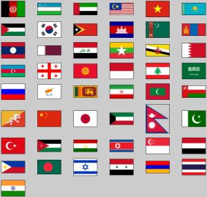
Click on the flag of each given asian country.
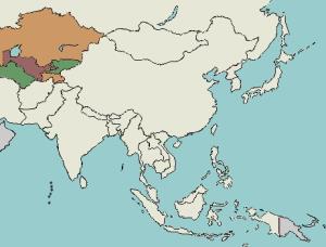
Try to guess where each given country of Central Asia is located on the map.
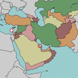
Try to locate on the map each given country of Middle East.
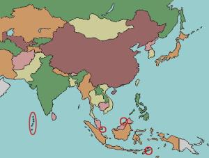
Given the country of Asia, try to find it out on the map.

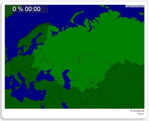
Would you know to locate the geographic items you are asked about? You must point out each exact location on the map.
Locate countries are: Armenia, Azerbaijan, Belarus, Estonia, Georgia, Kazakhstan, K ...
Potrebbe trovare caratteristiche geografiche che vengono richiesti sulla mappa? È necessario indicare ogni posizione precisa sulla mappa.
Individuare le caratteristiche geografiche sono le seguenti: Ar ...
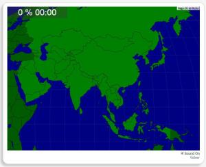
Would you know to locate the geographic items you are asked about? You must point out each exact location on the map.
Locate countries are: Afghanistan, Armenia, Azerbaijan, Bangladesh, Bhutan, Cambodi ...
Engadir a Didactalia Arrastra el botón a la barra de marcadores del navegador y comparte tus contenidos preferidos. Más info...


