
Cargando...
Que puis-je faire ?
Trouvez
visualisation

Discover the true shape of the Earth and how cartographic projections allow portray it in a flat surface in different ways depending on the purpose of the map. Year of creation: 2019.

A tour around the current technologies using satellites and airborne platforms for geographic information in order to study the territory and its changes. Year of creation: 2019.
Hipervinculo Ciencias de la Tierra y Medioambiente
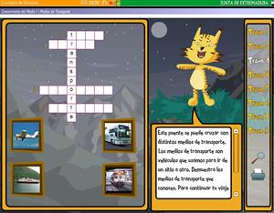
Una actividad educativa para que los niños de 1º de Primaria conozcan por medio de un crucigrama e imágenes, los medios de transporte más comunes: barco, avión autob&u ...
Ajouter à Didactalia Arrastra el botón a la barra de marcadores del navegador y comparte tus contenidos preferidos. Más info...


