
Cargando...
What can I do?
Find
 Mathematics (20)
Natural Sciences (9)
Social Sciences, Geography And History (10)
Performing Arts, Music And Dance (15)
Philosophy (1)
Mathematics (20)
Natural Sciences (9)
Social Sciences, Geography And History (10)
Performing Arts, Music And Dance (15)
Philosophy (1)
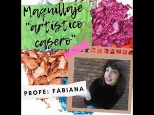
TEATRO 🎭 EN ESTE VÍDEO ENSEÑO UNA PEQUEÑA FÓRMULA PARA CREAR BASES DE MAQUILAJE ARTÍSTICO PARA JUGAR Y DIVERTIRSE, MUY PERO MUY SENCILLO
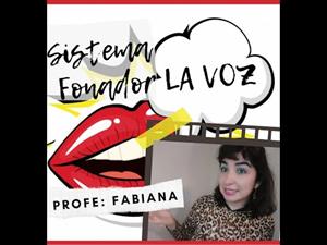
TEATRO 🎭 : APARATO FONADOR - EJERCICIOS VOCALES 🔴INVITADA ESPECIAL: PROFESORA GEORGINA PERAZZO Ningún instrumento puede igualar en belleza a la VOZ HUMANA. Es muy importante que cuidemos nues ...
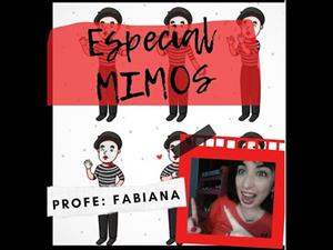
TEATRO 🎭 ESPECIAL MIMOS ¿Qué es un mimo? ¿Cómo es el vestuario? ¿ y el maquillaje? Mimos famosos : Charles Chaplin / Marcel Marceau
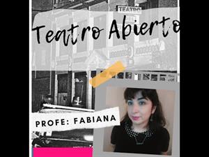
TEATRO 🎭 DICTADURA _ TEATRO ABIERTO El golpe de Estado del 24 de marzo de 1976 derrocó al gobierno de María Estela Martínez de Perón. En su lugar, se instauró una d ...

This video shows how to orient yourself in the field in a traditional way through the use of a map and a compass, and through the use of map applications for mobile devices. Year of creation: 2019.

In this video GNSS technology foundations and use are explained, and also how it is used in mobile and in other more accurate applications, such as cartography or Earth dynamics knowledge. Year of cr ...

Although talking about earthquakes and tsunamis sounds exotic, they are very common and happen frequently near us. This video shows why they occur, the trigger and where the possibility of an event is ...

Video Economía
All the clues for understanding symbols, scale and relief of the National Topographic Map are in this video. Year of creation: 2019.

Discover the true shape of the Earth and how cartographic projections allow portray it in a flat surface in different ways depending on the purpose of the map. Year of creation: 2019.

A tour around the current technologies using satellites and airborne platforms for geographic information in order to study the territory and its changes. Year of creation: 2019.
Add to Didactalia Arrastra el botón a la barra de marcadores del navegador y comparte tus contenidos preferidos. Más info...


