
Cargando...
What can I do?
226261 materialEducativo
textoFiltroFichatipo de documento Geography
About this resource...
Interactieve kaart van Amerikaanse staten
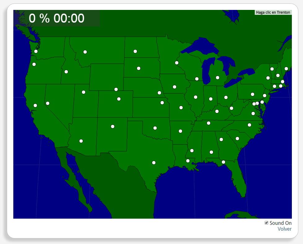
Train je brein met topografie.
Zoek geografische kenmerken zijn: Albany, Annapolis, Atlanta, Augusta, Austin, Baton Rouge, Bismarck, Boise, Boston, Carson City, Charleston, WV, Cheyenne, Columbia, Columbus, Concord, Denver, Des Moines, Dover, Frankfort, Harrisburg, Hartford, Helena, Indianapolis, Jackson, Jefferson City, Lansing, Lincoln, Little Rock, Madison, Montgomery, Montpelier, Nashville, Oklahoma City, Olympia, Phoenix, Pierre, Providence, Raleigh, Richmond, Sacramento, Saint Paul, Salem, Salt Lake City, Santa Fe, Springfield, Tallahassee, Topeka, Trenton, Washington, D.C..
América del norte
Estados Unidos
Tipo de Juego Where is?
Idioma Nederlands
Exclusive content for members of

Mira un ejemplo de lo que te pierdes
Autores:
Categories:
Tags:
Shared with:
Add to Didactalia Arrastra el botón a la barra de marcadores del navegador y comparte tus contenidos preferidos. Más info...


Comment
0