
Cargando...
What can I do?
226262 materialEducativo
textoFiltroFichaAbout this resource...
Interactive map of European Union
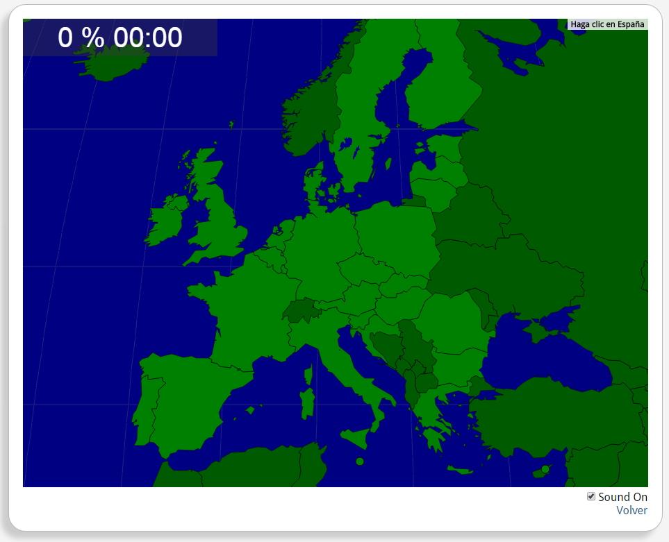
Would you know to locate the geographic items you are asked about? You must point out each exact location on the map.
Locate countries are: Austria, Belgium, Bulgaria, Croatia, Cyprus, Czech Republic, Denmark, Estonia, Finland, France, Germany, Greece, Hungary, Ireland, Italy, Latvia, Lithuania, Luxemburg, Malta, Poland, Portugal, Romania, Slovakia, Slovenia, Spain, Sweden, the Netherlands, the United Kingdom.
Europa
Tipo de Juego Where is?
Idioma English
Exclusive content for members of

Mira un ejemplo de lo que te pierdes
Autores:
Categories:
Tags:
Shared with:
Add to Didactalia Arrastra el botón a la barra de marcadores del navegador y comparte tus contenidos preferidos. Más info...


Comment
0