
Cargando...
What can I do?
Find
 Mathematics (5)
Natural Sciences (27)
Social Sciences, Geography And History (27)
Technology (4)
Visual Arts (2)
Performing Arts, Music And Dance (3)
Philosophy (2)
Foreign Languages (5)
Mathematics (5)
Natural Sciences (27)
Social Sciences, Geography And History (27)
Technology (4)
Visual Arts (2)
Performing Arts, Music And Dance (3)
Philosophy (2)
Foreign Languages (5)
Display

Although talking about earthquakes and tsunamis sounds exotic, they are very common and happen frequently near us. This video shows why they occur, the trigger and where the possibility of an event is ...

A tour around the current technologies using satellites and airborne platforms for geographic information in order to study the territory and its changes. Year of creation: 2019.
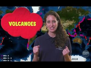
An overview of the types of eruptions, emitted materials and volcanic areas of Spain and the world through stunning videos and images. Year of creation: 2019.
Hipervinculo Geografía
Pon en práctica tus conocimientos geográficos con estos juegos sobre conceptos relacionados con el clima, la vegetación, el relieve, la economía, la población y much ...
Hipervinculo Geografía
Más de 200 términos acompañados de ejemplos (mapas, fotografías e ilustraciones) organizados en once bloques temáticos, coincidentes con la estructura de la asignatu ...
Hipervinculo Matemáticas
Articulo didactico que explica que es la ciencia
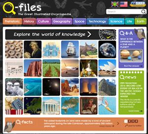
Children's Online Encyclopedia.Look it up on this new free website: illustrated, comprehensive, up-to-the-minute, authoritative. Great for facts, projects or homework.
The site is the creation of O ...
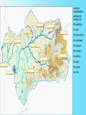
Los Mapas Mudos de Andalucía se enmarcan dentro del proyecto Averroes. Red Telemática Educativa de Andalucía, promovida por la Junta de Andalucía, y dirigida por el Instituto de Cartografía de Andaluc ...
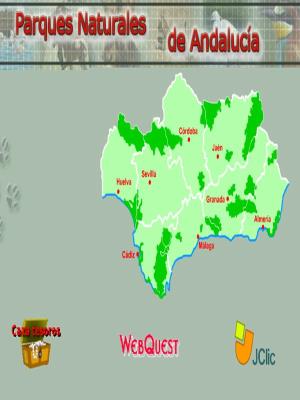
Recurso didáctico sobre los principales parques naturales de la comunidad autónoma andaluza. Con amplia información y actividades sobre su fauna, flora, relieve, clima, historia, artesanía,... Se comp ...
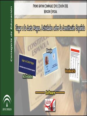
Recursos didácticos atractivos para el tratamiento y la integración de la educación en valores democráticos en la práctica educativa. Entre ellos, destaca un juego de cartas en el que se proponen mult ...
Add to Didactalia Arrastra el botón a la barra de marcadores del navegador y comparte tus contenidos preferidos. Más info...


