
Cargando...
Was kann ich tun?
226261 materialEducativo
textoFiltroFichaÜber diese Ressource...
Interactive Map of Netherlands
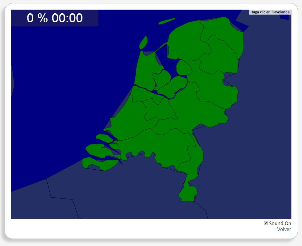
Would you know to locate the geographic items you are asked about? You must point out each exact location on the map.
Locate countries are: Drenthe, Flevoland, Friesland, Gelderland, Groningen, Limburg, Noord-Brabant, Noord-Holland, Overijssel, Utrecht, Zeeland, Zuid-Holland.
Europa
Netherlands
Tipo de Juego ¿Dónde está?
Idioma English
Exklusive Inhalte für Mitglieder von

Mira un ejemplo de lo que te pierdes
Autores:
Kategorien:
Tags:
Geteilt mit:
Möchtest du einen Kommentar abgeben? Registriere dich oder inicia sesión
Si ya eres usuario, Inicia sesión
Add to Didactalia Arrastra el botón a la barra de marcadores del navegador y comparte tus contenidos preferidos. Más info...


Kommentieren
0