
Cargando...
¿Qué puedo hacer?
Encuentra
 Matemáticas (2)
Ciencias Naturales (124)
CC SS, Geografía e Historia (23)
Tecnología (2)
Artes Plásticas, Imagen y Diseño (1)
Artes Escénicas, Música y Danza (1)
Filosofía (1)
Lenguas Extranjeras (1)
Matemáticas (2)
Ciencias Naturales (124)
CC SS, Geografía e Historia (23)
Tecnología (2)
Artes Plásticas, Imagen y Diseño (1)
Artes Escénicas, Música y Danza (1)
Filosofía (1)
Lenguas Extranjeras (1)
visualización
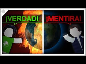
¿Es el cambio climático real o no? ¿Puede que sea una estafa? ¿Y los ecologistas tienen razón con que se va a acabar el mundo en unas décadas? POR FAVOR, ¿¡A QUIÉN CREO!?
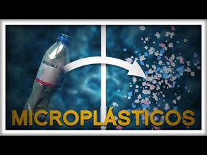
El plástico flota libremente por los océanos de todo el mundo y no solo es un peligro para los animales marinos. No se queda allí flotando sin más: se fragmenta. Hablemos sobre los peligrosos cachitos ...
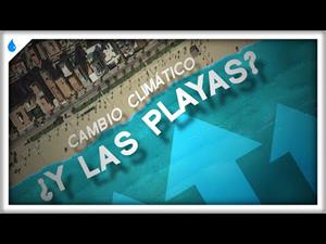
¡El nivel del mar está subiendo y muchas playas del mundo están camino de perder metros! Pero, ¿cuánto nos va a afectar en España? ¿va a ser tan catastrófico como algunos dicen? ¿habrá ciudades entera ...
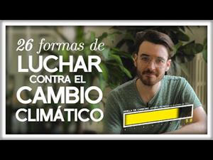
¿Qué podemos hacer a nivel individual para luchar contra el cambio climático? Hoy vamos a ver qué dice la ciencia, cuáles son las acciones que tienen más potencial, y os daremos un montón para que, si ...

This video shows how to orient yourself in the field in a traditional way through the use of a map and a compass, and through the use of map applications for mobile devices. Year of creation: 2019.

In this video GNSS technology foundations and use are explained, and also how it is used in mobile and in other more accurate applications, such as cartography or Earth dynamics knowledge. Year of cr ...

Although talking about earthquakes and tsunamis sounds exotic, they are very common and happen frequently near us. This video shows why they occur, the trigger and where the possibility of an event is ...

Video Economía
All the clues for understanding symbols, scale and relief of the National Topographic Map are in this video. Year of creation: 2019.

Discover the true shape of the Earth and how cartographic projections allow portray it in a flat surface in different ways depending on the purpose of the map. Year of creation: 2019.

A tour around the current technologies using satellites and airborne platforms for geographic information in order to study the territory and its changes. Year of creation: 2019.
Añadir a Didactalia Arrastra el botón a la barra de marcadores del navegador y comparte tus contenidos preferidos. Más info...


