
Cargando...
¿Qué puedo hacer?
Encuentra
visualización

This video shows how to orient yourself in the field in a traditional way through the use of a map and a compass, and through the use of map applications for mobile devices. Year of creation: 2019.

In this video GNSS technology foundations and use are explained, and also how it is used in mobile and in other more accurate applications, such as cartography or Earth dynamics knowledge. Year of cr ...

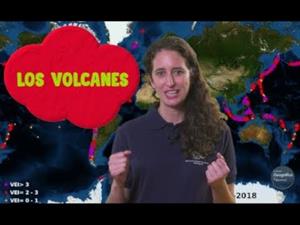
Although talking about earthquakes and tsunamis sounds exotic, they are very common and happen frequently near us. This video shows why they occur, the trigger and where the possibility of an event is ...

Video Economía
All the clues for understanding symbols, scale and relief of the National Topographic Map are in this video. Year of creation: 2019.

Discover the true shape of the Earth and how cartographic projections allow portray it in a flat surface in different ways depending on the purpose of the map. Year of creation: 2019.

A tour around the current technologies using satellites and airborne platforms for geographic information in order to study the territory and its changes. Year of creation: 2019.
Video Geografía
Un repaso a los tipos de erupciones, los materiales emitidos y las zonas volcánicas de España y el mundo a través de impactantes vídeos e imágenes.
Hipervinculo Historia de España
Descubre España a través de mapas, gráficos, tablas e imágenes
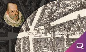
Visualizador interactivo que, sobre el plano de Pedro Texeira (1656), permite recorrer el Madrid del siglo XVI ...
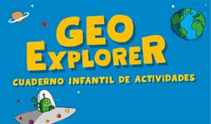
GeoExplorer ha venido a descubrir la Tierra a través de juegos para aprender astronomía, el interior de la Tierra, geografía y mapas. Dibuja, colorea, recorta y aprende más ...
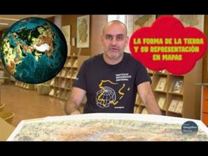
¿Aún piensas que la Tierra es plana?
Descubre cómo es la verdadera forma de la Tierra y cómo las proyecciones cartográficas permiten representarla en una superficie p ...
Añadir a Didactalia Arrastra el botón a la barra de marcadores del navegador y comparte tus contenidos preferidos. Más info...


