
Cargando...
¿Qué puedo hacer?
226262 materialEducativo
textoFiltroFichaAcerca de este recurso...
Interactive Map of Europe
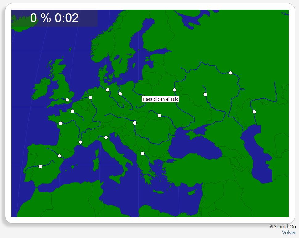
Would you know to locate the geographic items you are asked about? You must point out each exact location on the map.
Locate countries are: the Danube, the Dnieper, the Dniester, the Don, the Ebro, the Elbe, the Loire, the Oder, the Po, the Rhine, the Rhone, the Seine, the Tagus, the Thames, the Ural, the Vardar, the Vistula, the Volg.
Europa
Tipo de Juego ¿Dónde está?
Idioma English
Contenido exclusivo para miembros de

Mira un ejemplo de lo que te pierdes
Autores:
Categorías:
Etiquetas:
Compartida con:
¿Quieres comentar? Regístrate o inicia sesión
Añadir a Didactalia Arrastra el botón a la barra de marcadores del navegador y comparte tus contenidos preferidos. Más info...


Comentar
0