
Cargando...
Què puc hacer?
Troba
visualització

Discover the true shape of the Earth and how cartographic projections allow portray it in a flat surface in different ways depending on the purpose of the map. Year of creation: 2019.

A tour around the current technologies using satellites and airborne platforms for geographic information in order to study the territory and its changes. Year of creation: 2019.
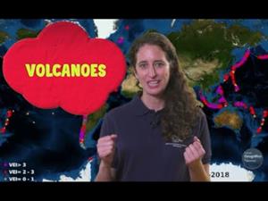
An overview of the types of eruptions, emitted materials and volcanic areas of Spain and the world through stunning videos and images. Year of creation: 2019.
Hipervinculo Geografía
Mediante mapas temáticos y gráficos, se describe la realidad de la población española, su distribución y organización, así como la caracterizació ...
Hipervinculo Conocimiento del Medio Natural, Social y Cultural
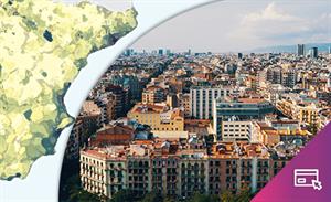
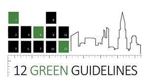
Las ciudades se están desarrollando a un ritmo frenético y se deben de desarrollar medidas y directrices que puedan encaminar de forma coherente el paisaje urbano y el urbanismo de las m ...
Afegir a Didactalia Arrastra el botón a la barra de marcadores del navegador y comparte tus contenidos preferidos. Más info...


